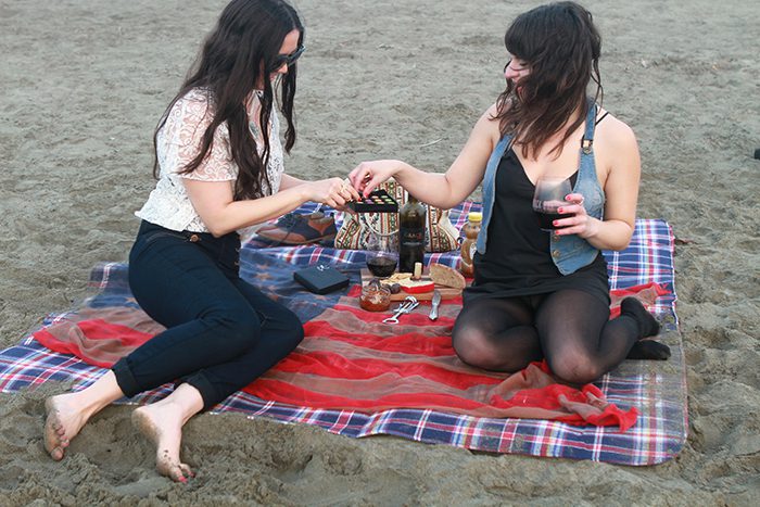
When visitors in other cities swelter in summer’s heat and picnic plans are abandoned for air conditioned cafes, San Francisco’s typical weather report is an invitation to gather up the picnic basket, blanket and head out. For a new take on the traditional picnic lunch in the sun, visitors can orchestrate their al fresco dining around San Francisco’s fabulous spectacle of summer fog.
Summer fog is common, but not an everyday event, so a bit of spontaneity works in favor of those in pursuit of a fog adventure. Morning and evening fog rolls into San Francisco Bay from June to August, pushing its way through the Golden Gate Bridge towers, drifting and swirling up and over the Marin Headlands, and nestling up against shoreline piers. Then, more often than not, it magically stops before consuming the city itself. Timing is essential, and layers are key. By mid-day the sun has burned off the white wispy stuff so people shed their jackets and sweaters to bask in the sun before the fog rolls in again by late afternoon.
Here are a few suggestions on where to find fog-viewing spots.
Battery East
A grass-covered earthen work fortification built in the 1870s, Battery East offers pristine vistas of the Golden Gate Bridge and the Pacific Ocean. Stake out one of the picnic tables located off parking area from Lincoln Boulevard in the Presidio and watch the curtains part on one of Nature’s most dramatic scenes. NPS.Gov/PRSF/PlanYourVisit/Battery-East.htm
Crissy Field
This quiet stretch of shoreline is the gateway to San Francisco. Opened to the public in the spring of 2001, the West Bluff and East Beach picnic area offer bayside picnic tables. From Marina Boulevard, drive past Marina Green to the Presidio; bear right on to Mason Street. Not only is Crissy Field famed as a windsurfing site, it also offers some of the most remarkable views of the bridge, bay and city to be had. Presidio.Gov/Explore/Pages/Crissy-Field.aspx
East Fort Baker
Just below the northern end of the Golden Gate Bridge and Vista Point lies East Fort Baker. This secluded recreation area with views of the bay is often sunny when the western park areas are fogged in.
Walk from the nearby Golden Gate Transit bus stop or drive down Bunker Road to East Fort Baker to find this treasure complete with a fishing pier, the innovative Bay Area Discovery Museum, historical brick fortifications of Battery Cavallo and concrete gun emplacements of Battery Yates.
The grassy parade grounds and coastal bluffs of East Fort Baker combine to make a protected picnic spot that is out of the wind, but still offers pristine fog bank views. www.NPS.Gov/Goga/PlanYourVisit/Fort-Baker.htm
Angel Island, Sausalito and Alcatraz
The weather at Angel Island, Sausalito and Alcatraz isn’t as predictable for fog fans; they can be terrific view spots or be totally socked in. However, baycruise companies offer a choice of destinations and can usually give sure-fire suggestions for getting into or out of a fog bank. AngelIsland.com, Sausalito.org, and NPS.Gov/Alca/Index.htm.
Mt. Tamalpais
Just 15 minutes north of the Golden Gate Bridge and Marin Headlands, Mt. Tamalpais’ summit is less than a half-mile high. But, the mountain rises almost straight up from sea level and offers 360 degree views of the entire Bay Area and west to the Pacific Ocean. On foggy days, the meadows, grasslands, forests and creeks at lower elevations are sometimes enveloped in a dreamlike fog, yet other peaks are visible just above. The park has numerous parking areas, trailheads, scenic overlooks and two drive-in picnic areas with day-use facilities.
The 20-minute descent on West Ridgecrest Boulevard on the northern flank of “Mt. Tam” affords a great road for a sunset drive when the fog is in. Parks.CA.Gov/?page_id=471
Tilden Regional Park
Across the bay and atop the Berkeley-Oakland Hills lies Tilden Regional Park. Magnificent views are the reward for ascending the Sea View Trail. Eucalyptus and Monterey pine trees line the trail that runs south from Inspiration Point off Wildcat Canyon Road and can be reached by car or AC Transit from the Berkeley BART station. EBParks.org/Parks/Tilden.htm
(Source: San Francisco Travel)


